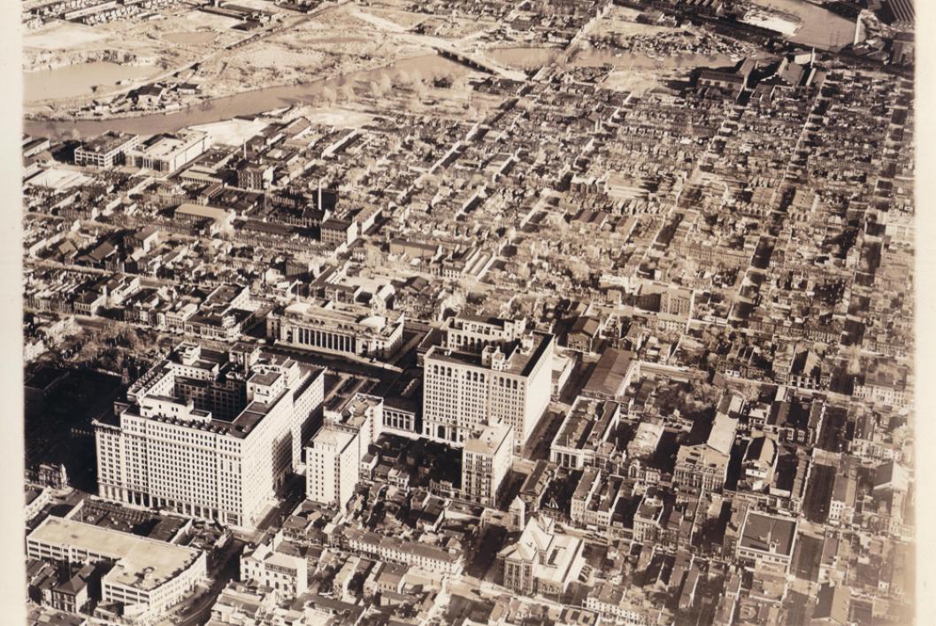
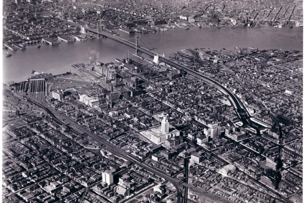
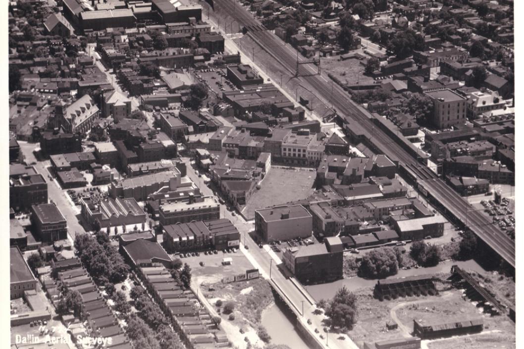
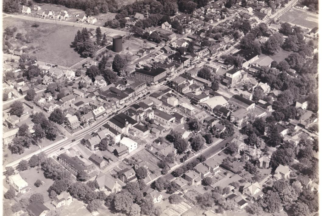
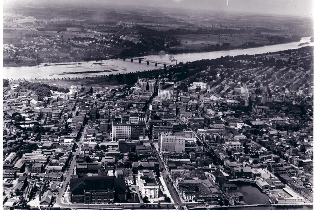
The Dallin Company compiled the first aerial map of Philadelphia in the mid-1920s. Mapping projects used "vertical" images which were taken at high altitudes and covered vast expanses of territory. In addition to "vertical" images, the Dallin Company also captured "oblique" images of cities and towns like the ones seen here.
Today's Hours: Museum Open 10:00 - 5:00 | Library by appointment only


